Mount Japfü
Mountain in the Indian state of Nagaland From Wikipedia, the free encyclopedia
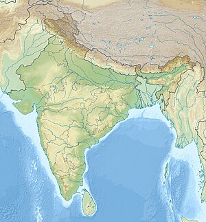
Mount Japfü (/jæpfu/, YAP-FU), is a mountain peak of the Barail Range, located in Kohima District of Nagaland in India, about 15 kilometres (9 mi) south of Kohima, the capital of Nagaland.
| Mount Japfü | |
|---|---|
| Highest point | |
| Elevation | 3,048 m (10,000 ft) |
| Listing | |
| Coordinates | 25°35′51″N 94°04′00″E / 25.59750; 94.06667][[Category:Pages using gadget WikiMiniAtlas]]"},"html":"Coordinates: </templatestyles>\"}' data-mw='{\"name\":\"templatestyles\",\"attrs\":{\"src\":\"Module:Coordinates/styles.css\"},\"body\":{\"extsrc\":\"\"}}'/>25°35′51″N 94°04′00″E / 25.59750°N 94.06667°E"}"> |
| Geography | |
| Location | Kohima District, Nagaland |
| Parent range | Barail Range |
| Climbing | |
| Easiest route | Hiking |
Geography
With a summit elevation of 3,048 m (10,000 ft), it is the fourth highest mountain in the Indian state of Nagaland and the highest in the Barail Range.[1][2]
The peak of Mount Japfü receives snowfall in the winter months from December to February.[3]
Flora
Mount Japfü holds the Guinness World Record for the tallest Rhododendron tree in the world. It was discovered in 1993 and recorded a height of 20 m (65 ft).[4]
See also
References
Wikiwand - on
Seamless Wikipedia browsing. On steroids.


