Habibpur
Satellite Town of Bhagalpur City in Bihar, India From Wikipedia, the free encyclopedia
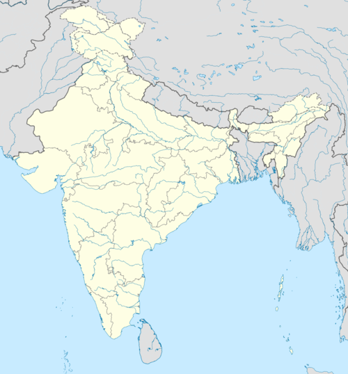
Habibpur is a town of Bhagalpur District and lies in the adjoining of Bhagalpur city and part of Bhagalpur Urban Agglomeration in Bhagalpur district in the India state of Anga of Bihar.[3][4]
Habibpur | |
|---|---|
Satellite Town of Bhagalpur City | |
| Coordinates: 25.21217°N 86.9832°E / 25.21217; 86.9832][[Category:Pages using gadget WikiMiniAtlas]]"},"html":"Coordinates: </templatestyles>\"}' data-mw='{\"name\":\"templatestyles\",\"attrs\":{\"src\":\"Module:Coordinates/styles.css\"},\"body\":{\"extsrc\":\"\"}}'/>25°12′44″N 86°59′00″E / 25.21217°N 86.9832°E"}"> | |
| Country | India |
| State | Bihar |
| Region | Anga |
| District | Bhagalpur |
| Urban Agglomeration | Bhagalpur Urban Agglomeration |
| Government | |
| • Type | Nager panchayat |
| • Body | Habibpur Nagar panchayat |
| Population (2023) | |
• Total | 16,400 |
| Language | |
| • Official | Hindi[1] |
| • Additional official | Urdu[1] |
| • Regional | Angika[2] |
| Time zone | UTC+5:30 (IST) |
| Vehicle registration | BR-10 |
| Lok Sabha constituency | Bhagalpur |
| Vidhan Sabha constituency | Nathnagar |
Demographics
As of 2011[update] India census,[5] Habibpur had a population of 16,400. Males constitute 53% of the population and females 47%. Habibpur has an average literacy rate of 85%, lower than the national average of 90.5%: male literacy is 46%, and female literacy is 79.5%. In Habibpur, 10% of the population is under 6 years of age.
See also
References
Wikiwand - on
Seamless Wikipedia browsing. On steroids.

