Jano
Municipality in Olancho, Honduras From Wikipedia, the free encyclopedia
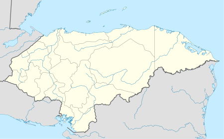
Jano is a town and municipality in the north west of the Honduran department of Olancho, west of Guata, south of Esquipulas del Norte and north of Manto.
This article needs additional citations for verification. (January 2017) |
Jano | |
|---|---|
Municipality | |
| Coordinates: 15°03′N 86°30′W / 15.050; -86.500][[Category:Pages using gadget WikiMiniAtlas]]"},"html":"Coordinates: </templatestyles>\"}' data-mw='{\"name\":\"templatestyles\",\"attrs\":{\"src\":\"Module:Coordinates/styles.css\"},\"body\":{\"extsrc\":\"\"}}'/>15°03′N 86°30′W / 15.050°N 86.500°W"}"> | |
| Country | Honduras |
| Department | |
| Villages | 8 |
| Area | |
• Total | 362.71 km2 (140.04 sq mi) |
| Population (2015) | |
• Total | 4,805 |
| • Density | 13/km2 (34/sq mi) |
Villages
Jano municipality encompasses the following villages:[1]
- Jano
- Comayaguela
- El Zapotillo
- La Pita
- La Victoria
- Las Labranzas
- Pacaya
- Pintora
Demographics
At the time of the 2013 Honduras census, Jano municipality had a population of 4,553. Of these, 90.97% were Mestizo, 8.15% White, 0.51% Black or Afro-Honduran and 0.37% Indigenous.[2]
References
Wikiwand - on
Seamless Wikipedia browsing. On steroids.
