Rocotopunta
Mountain in Peru From Wikipedia, the free encyclopedia
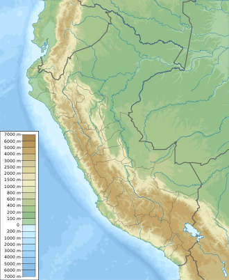
Rocotopunta[2][1] (Quechua rukutu, ruqutu a plant (Capsicum pubescens), punta peak; ridge)[3][4][5][6] is a mountain in the Cordillera Blanca in the Andes of Peru which reaches a height of approximately 5,400 m (17,717 ft).[2] It is located in the Ancash Region, Huaylas Province, Caraz District, and in the Yungay Province, Yungay District.[1] Rocotopunta lies west of Huandoy.[1][2]
| Rocotopunta | |
|---|---|
| Highest point | |
| Elevation | 5,400 m (17,700 ft)[1] |
| Coordinates | 9°02′17″S 77°41′07″W / -9.03806; -77.68528][[Category:Pages using gadget WikiMiniAtlas]]"},"html":"Coordinates: </templatestyles>\"}' data-mw='{\"name\":\"templatestyles\",\"attrs\":{\"src\":\"Module:Coordinates/styles.css\"},\"body\":{\"extsrc\":\"\"}}'/>9°02′17″S 77°41′07″W / 9.03806°S 77.68528°W"}"> |
| Geography | |
| Location | Peru, Ancash Region |
| Parent range | Andes, Cordillera Blanca |
Sources
Wikiwand - on
Seamless Wikipedia browsing. On steroids.
