Sarleinsbach
Municipality in Upper Austria, Austria From Wikipedia, the free encyclopedia
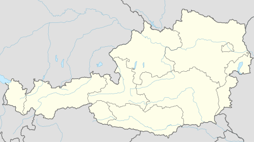
Sarleinsbach is a municipality in the district of Rohrbach in the Austrian state of Upper Austria.
Sarleinsbach | |
|---|---|
 | |
 Location in the district | |
| Coordinates: 48°32′50″N 13°54′19″E / 48.54722; 13.90528][[Category:Pages using gadget WikiMiniAtlas]]"},"html":"Coordinates: </templatestyles>\"}' data-mw='{\"name\":\"templatestyles\",\"attrs\":{\"src\":\"Module:Coordinates/styles.css\"},\"body\":{\"extsrc\":\"\"}}'/>48°32′50″N 13°54′19″E / 48.54722°N 13.90528°E"}"> | |
| Country | Austria |
| State | Upper Austria |
| District | Rohrbach |
| Government | |
| • Mayor | Roland Bramel (ÖVP) |
| Area | |
• Total | 36.84 km2 (14.22 sq mi) |
| Elevation | 561 m (1,841 ft) |
| Population (2018-01-01)[2] | |
• Total | 2,284 |
| • Density | 62/km2 (160/sq mi) |
| Time zone | UTC+1 (CET) |
| • Summer (DST) | UTC+2 (CEST) |
| Postal code | 4152 |
| Area code | 07283 |
| Vehicle registration | RO |
| Website | www.sarleinsbach.at |
Geography
Sarleinsbach lies in the upper Mühlviertel. About 35 percent of the municipality is forest, and 58 percent is farmland.
References
Wikiwand - on
Seamless Wikipedia browsing. On steroids.

