Warmensteinach
Municipality in Bavaria, Germany From Wikipedia, the free encyclopedia
Warmensteinach is a municipality in the district of Bayreuth in Bavaria in Germany. From here there is a chairlift, the Ochsenkopf South Chairlift, to the summit of the Ochsenkopf, the second highest mountain in the Fichtel Mountains.
Warmensteinach | |
|---|---|
 Warmensteinach in summer | |
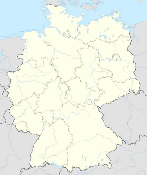
Location of Warmensteinach within Bayreuth district  | |
| Coordinates: 49°58′N 11°46′E / 49.967; 11.767][[Category:Pages using gadget WikiMiniAtlas]]"},"html":"Coordinates: </templatestyles>\"}' data-mw='{\"name\":\"templatestyles\",\"attrs\":{\"src\":\"Module:Coordinates/styles.css\"},\"body\":{\"extsrc\":\"\"}}'/>49°58′N 11°46′E / 49.967°N 11.767°E"}"> | |
| Country | Germany |
| State | Bavaria |
| Admin. region | Oberfranken |
| District | Bayreuth |
| Subdivisions | 18 Ortsteile |
| Government | |
| • Mayor (2020–26) | Axel Herrmann[1] (FW) |
| Area | |
• Total | 32.62 km2 (12.59 sq mi) |
| Highest elevation | 1,024 m (3,360 ft) |
| Lowest elevation | 550 m (1,800 ft) |
| Population (2023-12-31)[2] | |
• Total | 2,253 |
| • Density | 69/km2 (180/sq mi) |
| Time zone | UTC+01:00 (CET) |
| • Summer (DST) | UTC+02:00 (CEST) |
| Postal codes | 95485 |
| Dialling codes | 09277 |
| Vehicle registration | BT |
| Website | www.warmensteinach.de |
References
Wikiwand - on
Seamless Wikipedia browsing. On steroids.


